
Walks
Climbing Bassegoda from Sadernes
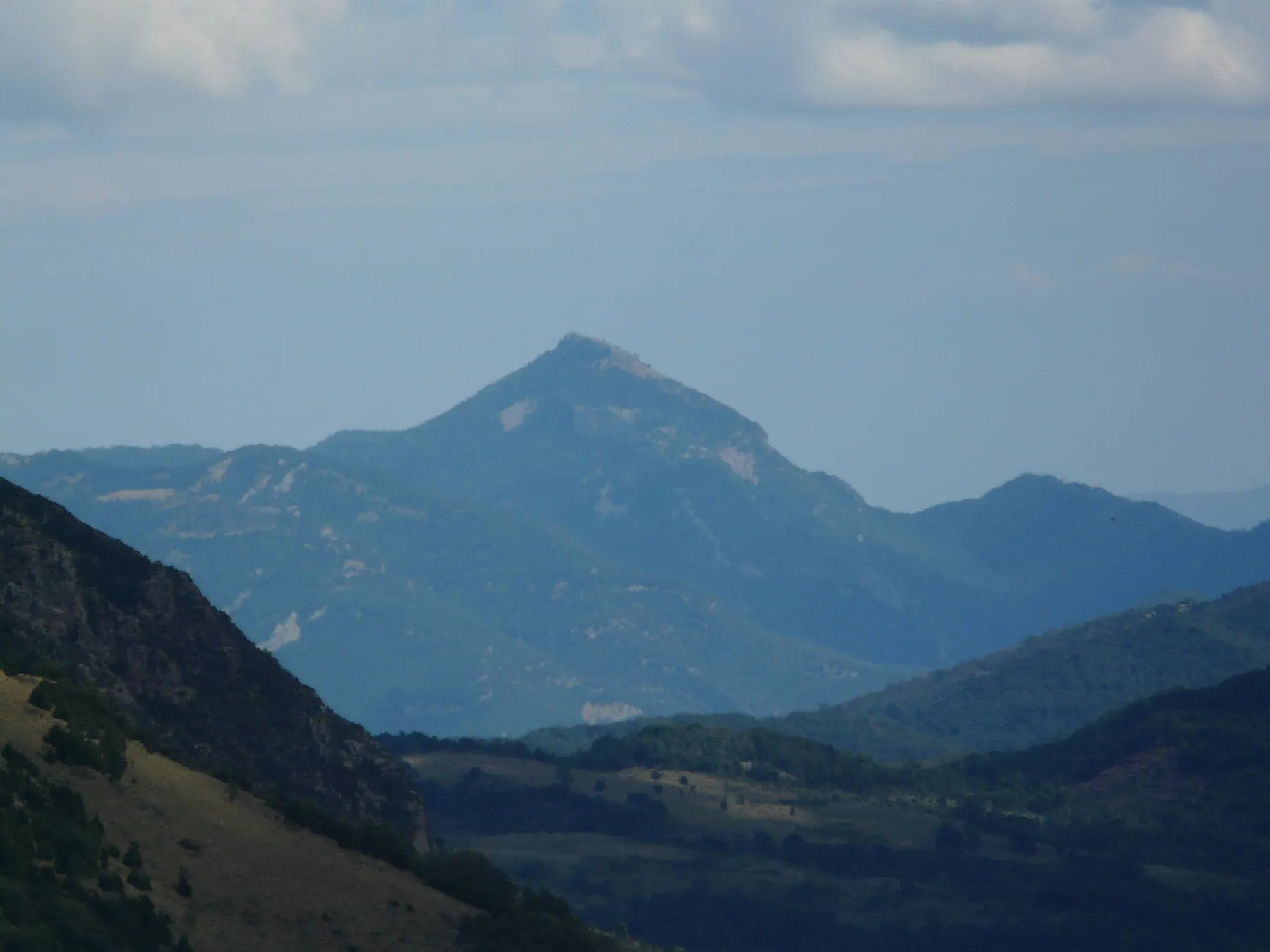
Bassegoda, over 1,300 metres high, is the mountain that gives the Alta Garrotxa its character: a great block of rock visible from much of the region. From the top, on a clear day, the view opens over the Alta Garrotxa ridges as far as the Canigó.
Route 5 of the Consorci de l'Alta Garrotxa climbs it from Sadernes. It's a long, hard day of about eight and a half hours, with a lot of ascent and rough ground. Not one for your first day.
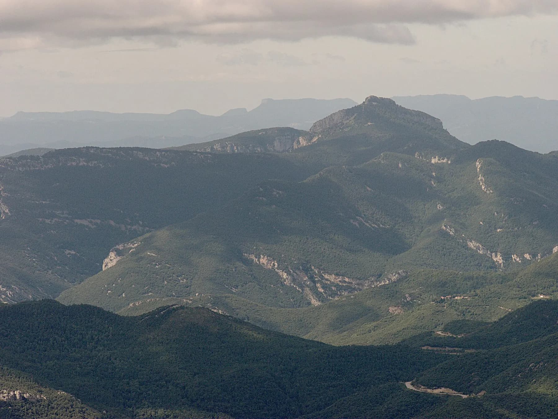
The route
From Sadernes, the path passes the ruins of Sespasa castle and climbs to Sant Feliu de Riu. It continues through the chestnut trees of La Plana, the ruins of Vinardell and an old hermitage to the Comadells corner, below the Bassegoda cliff, where the hardest climb is. A short scramble takes you to the summit.
The descent heads to the Coll de Bassegoda along the GR 11 track, past Coll Roig and the Comella stream to Sant Aniol d'Aguja, and back to Sadernes down the stream via the Gomarell and the Valentí bridge. Follow the Consorci route marks and the yellow Itinerànnia signposts.
Before you set off
Set off early, with a map or downloaded route, a head torch, plenty of water (there's almost none on the way) and warm clothes: it can be windy and cold at the top even when it's pleasant below. Check the forecast and don't go up if storms are expected.
Tell someone which route you're taking: there's no signal for long stretches. At reception we'll show you where the path starts from the campsite.