
Walks
The Sant Aniol d'Aguja walk, step by step
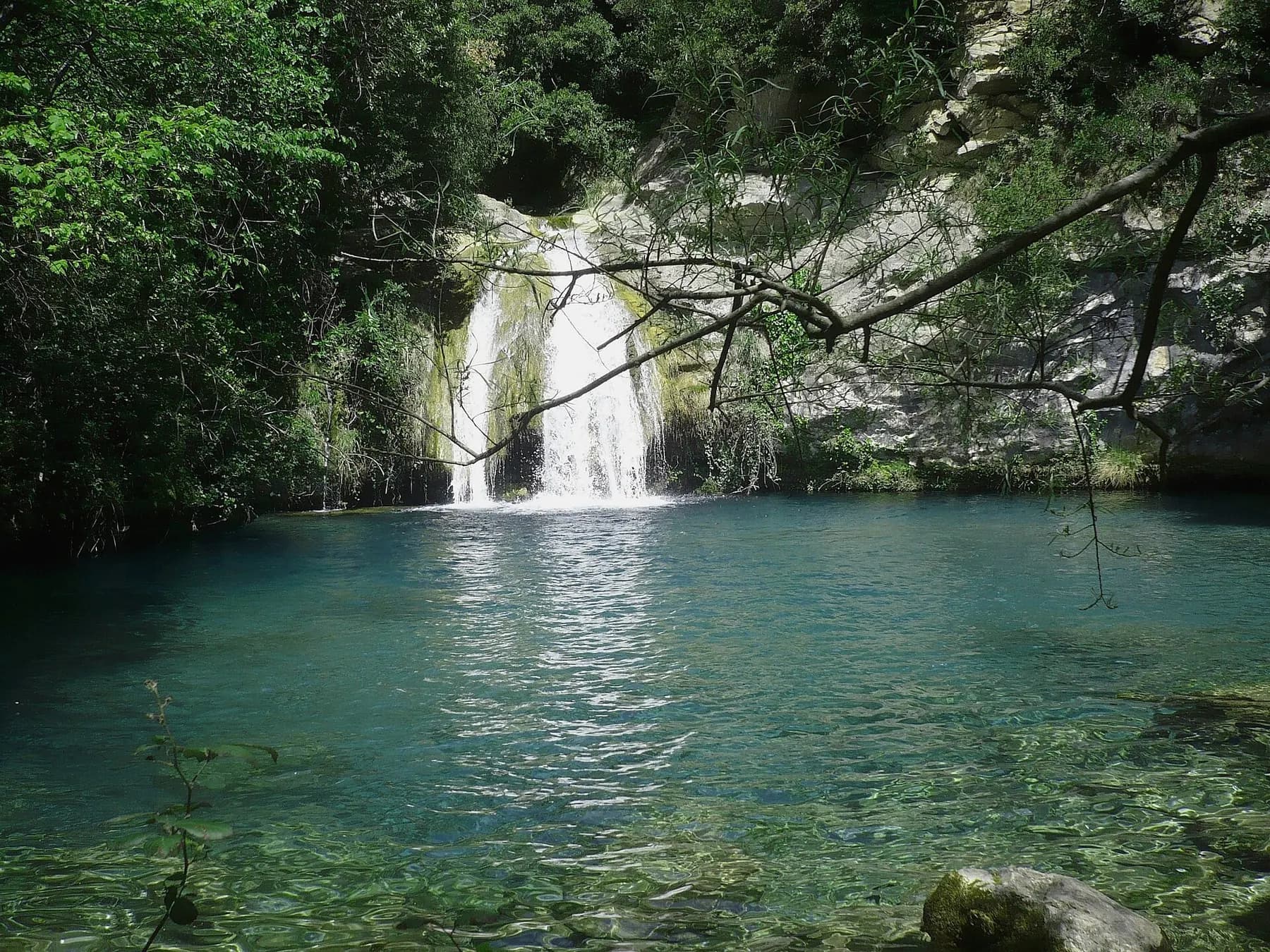
This is the classic outing from Sadernes, and it starts at the campsite itself. The path follows the Sant Aniol stream upstream, between limestone walls, past bridges, old mills and clear pools to the Romanesque hermitage of Sant Aniol d'Aguja, hidden at the head of the valley.
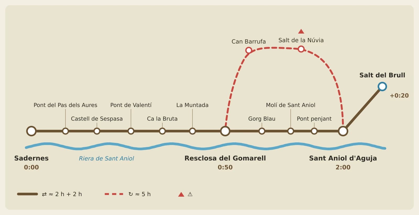
Medium difficulty. Allow about two hours each way if you go there and back on the same path, depending on your pace and stops. The loop suggested by the Consorci de l'Alta Garrotxa (route 1), returning via the Salt de la Núvia, takes about 5 hours.
Route at a glance
Start: Sadernes (on foot from the campsite)
Finish: Sant Aniol d'Aguja hermitage
Time: about 2 h each way; loop via the Núvia, about 5 h
Extension: Salt del Brull, +40 min there and back from the hermitage
Difficulty: medium (rocky ground and stream crossings)
Waymarking: yellow Itinerànnia signposts and Consorci de l'Alta Garrotxa route 1
Water: spring at the Sant Aniol hermitage
Phone signal: almost none
Best season: spring to autumn
The path
Leave Sadernes on the track that goes down beside Santa Cecília. You'll cross the stream on a bridge, with the ruins of Sespasa castle on top of a rock, and reach the Valentí bridge, where the waymarked path to Sant Aniol begins.
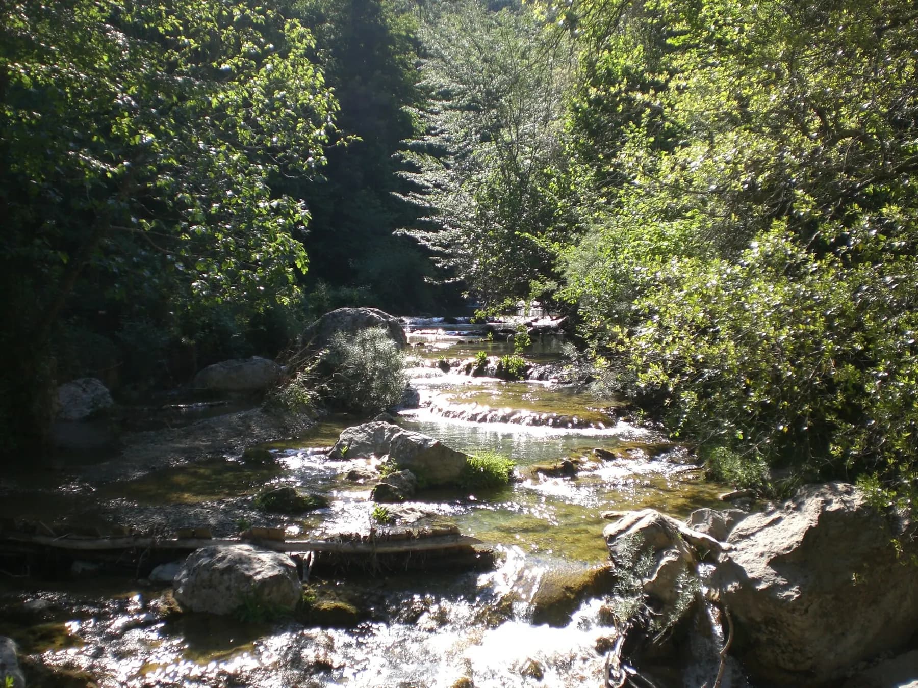
The path passes the old Ca la Bruta inn, now restored, and La Muntada on its way to the Gomarell weir, about 50 minutes from the start. From here on the ground is rocky and in places you have to cross the stream by hopping over the rocks. In summer the water sometimes disappears underground and resurfaces further up.
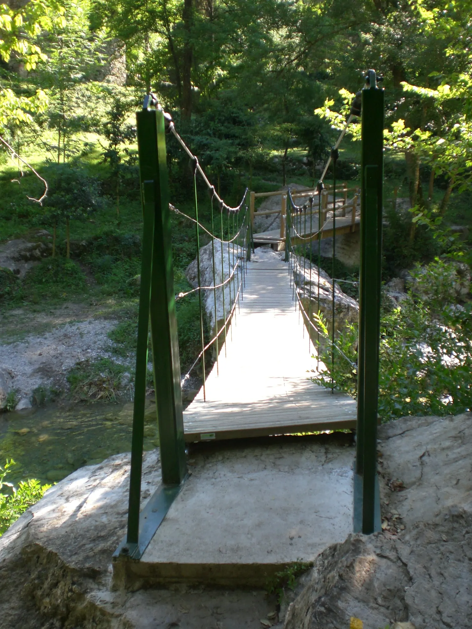
After more pools and the old Sant Aniol mill, a suspension bridge brings you to the hermitage, with its old rectory and a spring.
The hermitage and the Salt del Brull
Sant Aniol d'Aguja is a Romanesque hermitage in an enclosed corner of the valley, next to the rectory. It's a good place to have lunch in the shade and refill your bottle at the spring.
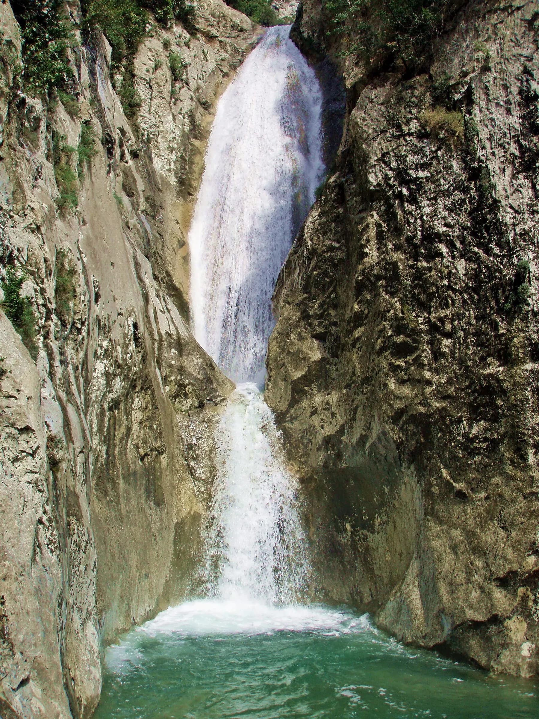
If you still have energy, a path from the hermitage follows the water to the Salt del Brull, a waterfall squeezed between vertical walls. Allow about 40 minutes there and back.
Returning via the Salt de la Núvia
To make it a loop, you can return along the high path of the Salt de la Núvia, a viewpoint over the Sant Aniol valley. It has a narrow, exposed passage equipped with chains: only if you have a head for heights and the ground is dry. It then descends along the Can Barrufa ridge to the Gomarell and back to Sadernes the way you came.
What to bring
Hiking boots that grip the rock well (and, if you like, sandals for the water crossings), plenty of water, food and a bag to take your rubbish home. There's no signal for much of the way: download the map before you set off.
If you want to swim, do it without soap or sun cream. On hot days and weekends it gets busy: set off early and you'll have the valley almost to yourself. After heavy rain, don't cross the stream if it's running high.
Questions about the route
Is it suitable for children?
The first stretch, to the Gomarell, yes. All the way to Sant Aniol is long, with rock crossings: better with children used to walking.
Can I bring my dog?
Yes, on a lead. Bear in mind the stream crossings and that it's hot in summer even in the shade.
Can I swim in the stream?
In the pools, yes, without soap or sun cream and respecting closed areas. The water is cold all year.
Do I need to book anything?
To walk, no. If you drive in high season, the valley car park must be booked on the Consorci website. From the campsite you can walk.